Disaster Response
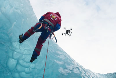
When it comes to disaster response, UAVs have a wide variety of application that can help saving lives.
Drones can be utilized to map and survey areas hit by a fire, typhoon, tornado, earthquake or flooding. They can film roads in order to determine whether they are passable, determine where disaster had occurred and which areas or cities were stroke hardest, monitor fire spreading, search for survivors or injured people who requires immediate medical assistance.
ACES AIR drones paired with hi-end cameras and thermal imaging system can get in to, move around and get out of disaster zones, while providing a real-time overhead footage of the stroke area that can be analyzed by disaster response teams to facilitate decision-making process and prioritize responses.